


Millions of people living in coastal regions could lose their lands by 2050, a new coastline risk screening tool has predicted. According to the new map-based technology, Texas ranks high on the list of states to be most affected.
The tool names coastal areas in the Lone Star State, such as Beaumont, Barrier Islands, and Galveston Island, as the most threatened areas. If current climate trends are not reversed, residents of these areas could be in big trouble within the next 30 years.
The coastal risk-screening tool, which is owned by Climate Central, relies on extensive research to arrive at its findings. Climate Central is a leading group of independent scientists who have devoted their time to studying the impacts of climate on livelihood. This research guides the tool to draw up compelling graphics indicating at-risk areas in maps.
Using the tool, you can see lots of coastal communities in Texas, Louisiana, Georgia, South Carolina, and Florida are colored red. This means that these areas are at the mercy of rising sea levels.
The tool shows the difference between land altitudes in the areas in focus and the predicted water levels they could be exposed to. So, by barely looking at the map along with its highlighted areas, the portions of land under immediate risks are easy to identify.
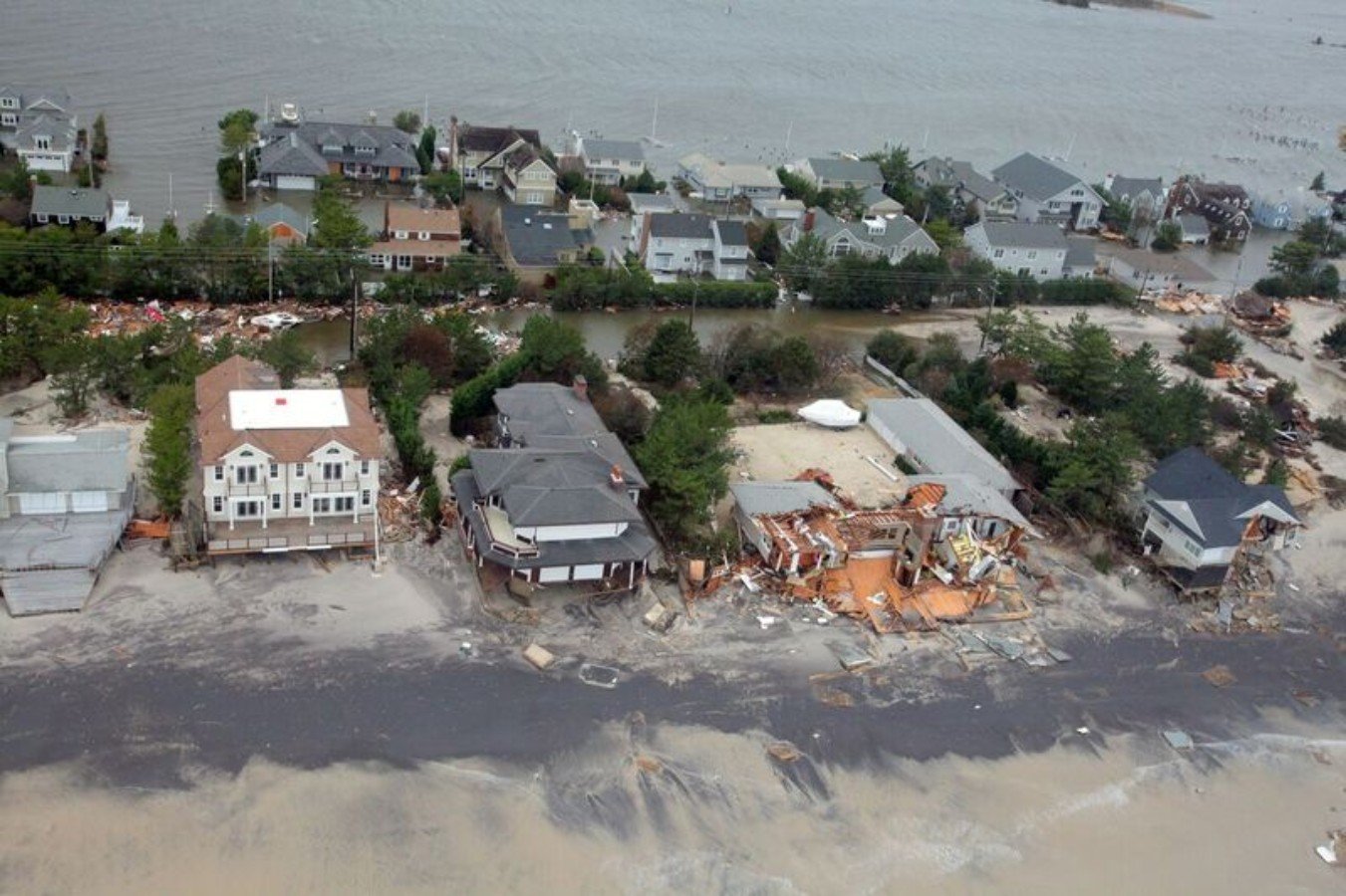
All over the world, coastal areas are under serious threat of extinction. So also are their dwellers who could lose their homes to flooding. The Environmental Protection Agency has estimated the number of coastal community dwellers to be in excess of 128 million.
So, what exactly is the reason for this growing threat? The answer is the heating of the environment. As global warming worsens, oceans are feeling the heat, glaciers and ice sheets are melting, and sea levels rise. This rise in sea levels will flow over to the coastal regions, cause flooding, and claim large portions of land.
According to Peter Girard, Climate Central’s vice president of communications, melting glaciers and snow sheets aren’t the only cause of rising sea levels. Heat on its own can raise sea levels, he says. “Oceans like any other physical entity expands with heat, and so, thermal expansion, is by itself as our world warms, increasing the heights of the oceans,” he explained in an interview.
If left unattended, coastal flooding could cause severe damage to the ecosystem, plus lives and millions of dollars of property could be lost. It has already been predicted that the global economy could lose up to $14.2 trillion to coastal flooding by the year 2100.
Authorities should act now. 2050 isn’t as far away as one could be tempted to think.
As the international community continues to strengthen collaboration in reducing greenhouse emissions and by extension, global warming, there is also a need to intensify local efforts.
Climate Central’s tool has, by identifying at-risk regions, solved half of the problem. Coastal communities should focus their coastal resiliency strategies on these areas. Remedies such as flood walls, living shorelines, and shifting populations will go a long way in weakening the threat of the advancing seas.